Garmin Italy Adratic Sea 010-C1239-20 Navionics+™ Marine Charts
£164.99 — in stock, tracked UK delivery in 3-5 working days
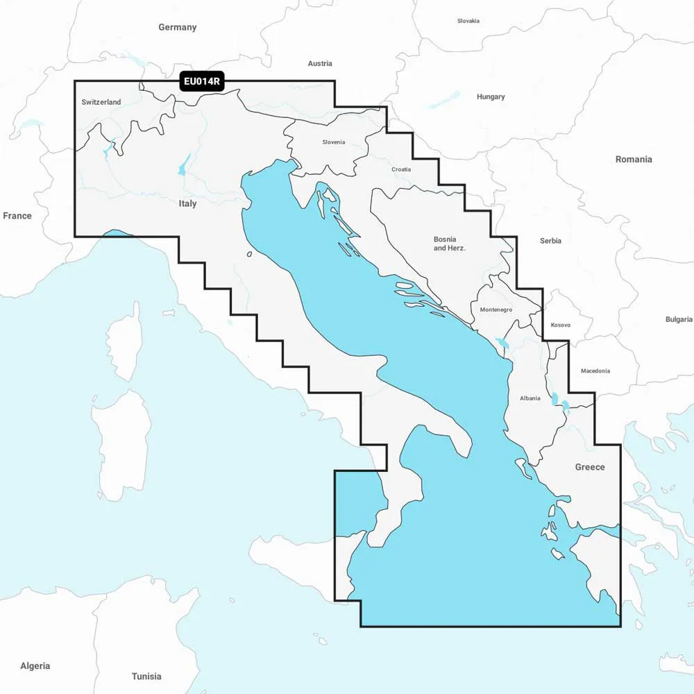
Product description of Garmin Italy Adratic Sea 010-C1239-20 Navionics+™ Marine Charts Description summary Navigate the Adriatic Sea with confidence using Garmin Navionics+ charts. This all-in-one solution for your Garmin chartplotter offers vibrant, detail-rich coastal and inland mapping. Enjoy suggested dock-to-dock routing with Auto Guidance+™ technology and find the best fishing spots with customizable depth range shading and 1’ contours. An included one-year subscription gives you access to daily updates via the ActiveCaptain® app, ensuring you always have the most current data for your Italian adventures on the water Featuring vibrant colors, a streamlined interface and combined coastal/inland content with a popular Navionics® style color palette, Garmin Navionics+ cartography makes it easy to plot your course with the world´s No.1 name in marine mapping1.Navigate with our best offshore and inland lake coverage for your Garmin chartplotter.See it your way.Customize your view with various chart layers and overlay combinations.With your included one-year subscription, access daily updates via the ActiveCaptain® smart-device app.Auto Guidance+™ technology2 lets you navigate with suggested dock-to-dock routings.Select up to 10 color-shaded target depth ranges to scope out the best fishing spots.Save money by renewing your subscription — and continue accessing daily updates plus new content downloads.ALL-IN-ONE MAP SOLUTION FOR GARMIN CHARTPLOTTERS.Access detail-rich…
More like this
- Wrapid Guide — £232.99
- Ordnance Survey Landranger Map 02 Shetland - Sullom Voe and Whalsay — £16.99
- Lifeventure DriStore LocTop Bags For Maps — £15.99
- OS Landranger Map 102 Preston & Blackpool Lytham St Anne's — £12.99
- Explorer Map 246 Loughborough — £16.99
- Landranger Map 178 Thames Estuary — £16.99
- Landranger Map 86 Haltwhistle and Brampton — £16.99
- Landranger Map 188 Maidstone and Royal Tunbridge Wells — £16.99
Find somewhere to use your kit: Splash Watersport spot map. ReFlex Watersport is part of the Uraeun group.