Explorer Map 246 Loughborough
£16.99 — in stock, tracked UK delivery in 3-5 working days
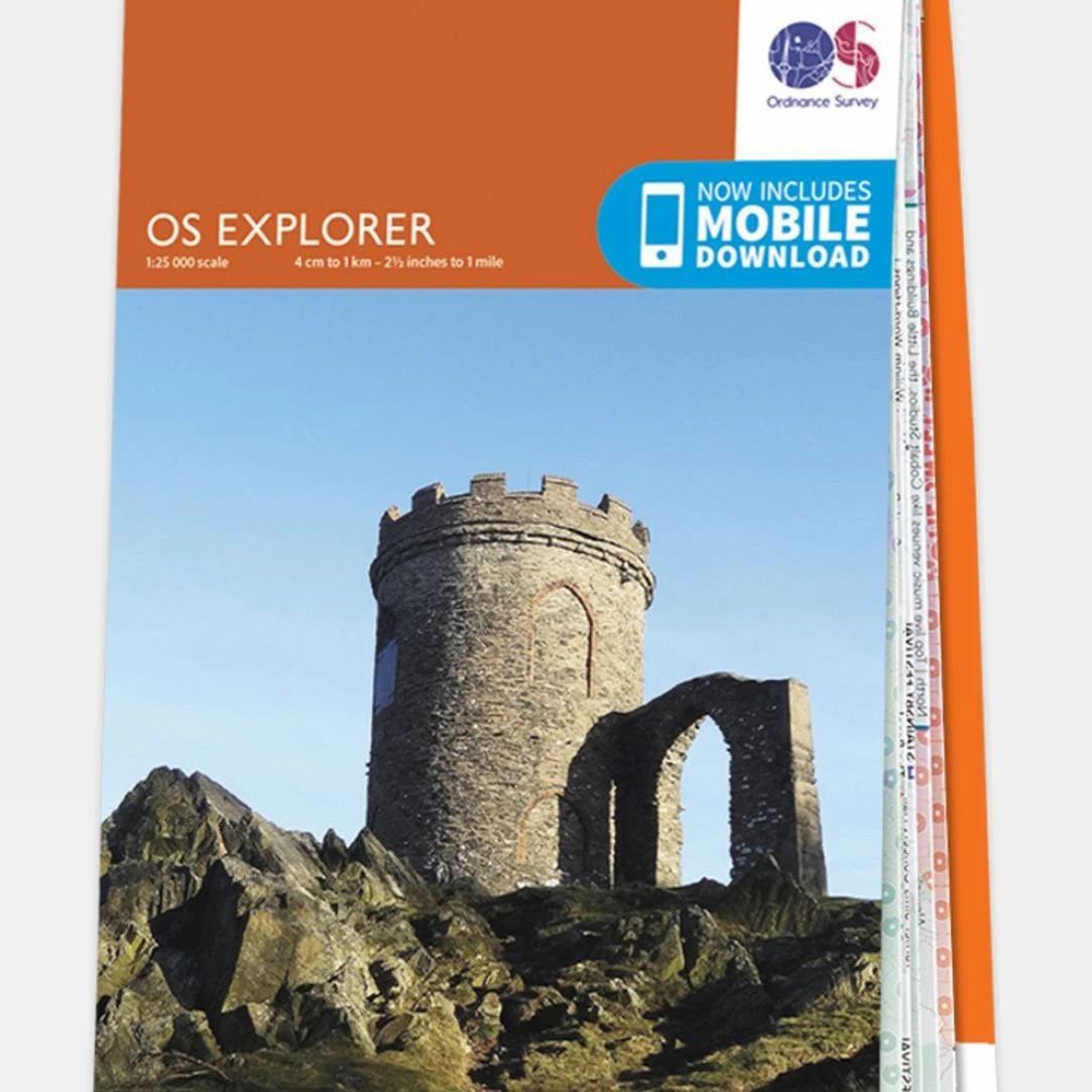
With its exceptional level of detail and clarity, Ordnance Survey's Explorer Map 246 Loughborough is a favourite of walkers, climbers, mountain bikers, outdoor professionals and anyone else who needs to know exactly where they are. The 1:25,000 scale allows plenty of detail, and the squares of the National Grid allow every bit of Great Britain to be given its own unique reference number. An abundance of features are displayed, including areas of interest, picnic spots, campsites and National Trails, along with National Park and Rights of Way information for England and Wales. Once you have recieved the paper map you will also be able to download the electronic version to your iOS or Android smartphone or tab
More like this
- Wrapid Guide — £232.99
- Ordnance Survey Landranger Map 02 Shetland - Sullom Voe and Whalsay — £16.99
- Lifeventure DriStore LocTop Bags For Maps — £15.99
- OS Landranger Map 102 Preston & Blackpool Lytham St Anne's — £12.99
- Landranger Map 178 Thames Estuary — £16.99
- Landranger Map 86 Haltwhistle and Brampton — £16.99
- Landranger Map 188 Maidstone and Royal Tunbridge Wells — £16.99
- Ordnance Survey Landranger Map 151 Stratford-upon-Avon — £16.99
Find somewhere to use your kit: Splash Watersport spot map. ReFlex Watersport is part of the Uraeun group.