Landranger Map 128 Derby and Burton upon Trent
£16.99 — in stock, tracked UK delivery in 3-5 working days
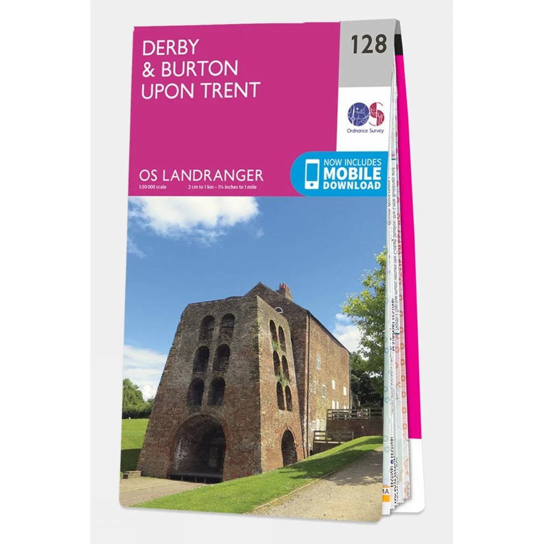
Perfect for day trips and short breaks, the Landranger series of OS Maps provide 40 x 40km (25 x 25 miles) of clear, easy-to-read 1:50,000 scale coverage, wherever you're heading in Great Britain. Landrangers are overlaid with National Grid squares, so every point in the country can be given a unique identifying number.As well as a good level of geographical detail, the Landranger series displays various places of interest, picnic areas, campsites and tourist information. In addition, Rights of Way information is displayed for England & Wales.
More like this
- Wrapid Guide — £232.99
- Ordnance Survey Landranger Map 02 Shetland - Sullom Voe and Whalsay — £16.99
- Lifeventure DriStore LocTop Bags For Maps — £15.99
- OS Landranger Map 102 Preston & Blackpool Lytham St Anne's — £12.99
- Explorer Map 246 Loughborough — £16.99
- Landranger Map 178 Thames Estuary — £16.99
- Landranger Map 86 Haltwhistle and Brampton — £16.99
- Landranger Map 188 Maidstone and Royal Tunbridge Wells — £16.99
Find somewhere to use your kit: Splash Watersport spot map. ReFlex Watersport is part of the Uraeun group.