Landranger Map 106 Market Weighton
£16.99 — in stock, tracked UK delivery in 3-5 working days
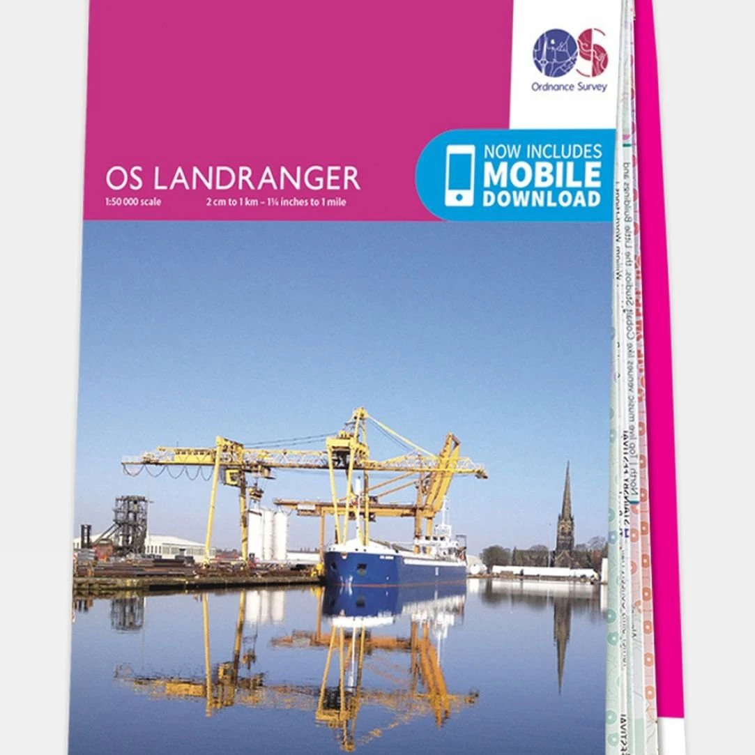
Ideal for day trips and short getaways, the Landranger series of OS Maps offers clear, easy-to-read coverage at a 1:50,000 scale, covering areas of 40 x 40 km (25 x 25 miles) throughout Great Britain. Each map is overlaid with National Grid squares, providing a unique identifying number for every location. The Landranger series not only features detailed geographical information but also highlights points of interest, picnic spots, campsites, and tourist information. Additionally, it includes Rights of Way details for England and Wales, making it an essential resource for outdoor enthusiasts and travelers.
More like this
- Wrapid Guide — £232.99
- Ordnance Survey Landranger Map 02 Shetland - Sullom Voe and Whalsay — £16.99
- Lifeventure DriStore LocTop Bags For Maps — £15.99
- OS Landranger Map 102 Preston & Blackpool Lytham St Anne's — £12.99
- Explorer Map 246 Loughborough — £16.99
- Landranger Map 178 Thames Estuary — £16.99
- Landranger Map 86 Haltwhistle and Brampton — £16.99
- Landranger Map 188 Maidstone and Royal Tunbridge Wells — £16.99
Find somewhere to use your kit: Splash Watersport spot map. ReFlex Watersport is part of the Uraeun group.